

Jurassic Park helped to give dinosaurs their fame, but this really wasn’t when dinosaurs ruled the Earth. The Cretaceous period, starting about 145 million years ago, was the real heyday of our giant mesothermic friends (most dinosaurs were not ectothermic, or cold-blooded!). Until their extinction around 66 million years ago, dinosaurs were spread across the globe, including in the Great Plains region. At this point, Pangea had broken apart and North America was starting to look like the massive continent we know today.
Even more interesting, the North American landmass was home to a Cretaceous inland sea. The Western Interior Seaway was a result of incredibly high sea level, where a shallow ocean covered a massive part of the continent. “At its maximum extent, the seaway extended for 4,800 km from the North Slope of Alaska to northern Mexico and was approximately 1,620 km wide from central Utah to Minnesota,” according to a U.S. Geological Survey report. This includes much of the Great Plains region.
Evidence of this inland sea lies in the paleontology—the fossils—of the region. Geologists have found an incredibly diverse variety of marine fossils all over the landlocked states, even here in Arizona. The fossils found are not just shallow water creatures, though some extensive coral reef remains have been studied. Giant turtles, ammonites, crinoids, sharks and fishes have been discovered in areas that are now deserts and grasslands. On top of that, giant marine beasts resembling the Loch Ness monster, like Mosasaurs and Plesiosaurs who needed large expanses of salty ocean water to survive, have been found. Right along side these are the bones and tracks of dinosaurs who tromped on the muddy shores.
The rock that hosts the marine fossils also tells the tale of deep ocean covering North America. Chalk, limestone and dolostone are carbonate rocks, created when microscopic sea-critters died and accumulated on the ocean floor, eventually compacting into solid rocks.
By the end of the Cretaceous, the Rocky Mountains were beginning to form, and the Western Interior Seaway was retreating. The dropping sea level and receding inland sea led way to swampy environments, and later, the formation of coal.
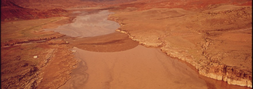
Featured photo courtesy of U.S. National Archives:

See the following sources for more info:
http://geology.teacherfriendlyguide.org/index.php/fossils-sc/fossils-region4-sc
https://www.geosociety.org/documents/gsa/timescale/timescl.pdf
Roberts, Laura N. Robinson, Laura N. Robinson. Kirschbaum, Kirschbaum, Mark A., and Geological Survey, Issuing Body. Paleogeography of the Late Cretaceous of the Western Interior of Middle North America: Coal Distribution and Sediment Accumulation. U.S. Geological Survey Professional Paper; 1561. Washington: Denver, CO: U.S. G.P.O.; U.S. Geological Survey, Information Services, 1995.

2 thoughts on “The Cretaceous Interior Seaway”